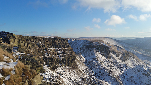
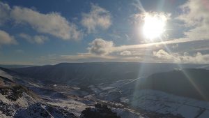
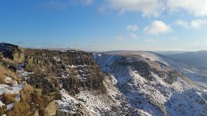
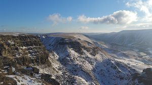
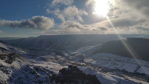
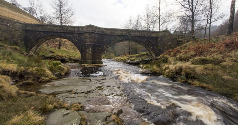
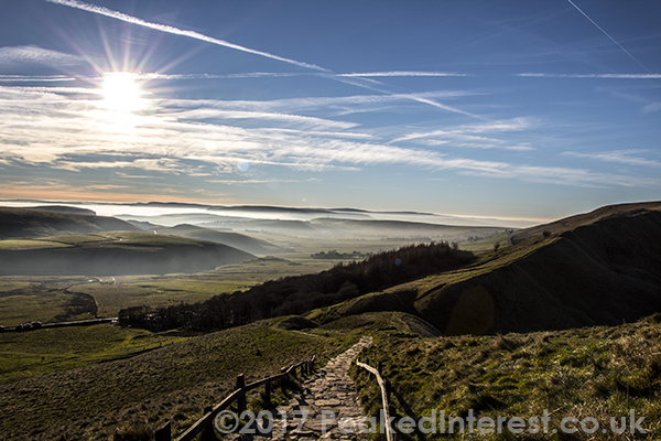
Alport Castles is a striking geological feature between the River Alport and Birchinlee Pasture on the eastern side of Alport Dale at OS map reference SK142915 on the OL1 Explorer Series map.
Called castles because of their resemblance to a series of man-made defensive structures Alport Castles are in fact the result of a huge landslip, probably the largest landslip in the United Kingdom. There’s a lot of debate over exactly how the landslip occurred but most theories seem to agree that as with the landslip on the Castleton side of Mam Tor it’s the result of weaker, unstable rock detaching itself from the more stable and durable Derbyshire Gritstone. What they don’t agree on is the exact mechanism which made millions of tonnes of Turbidite and associated strata to slip into Alport Dale at this particular point.
Of course if you’re not a geologist this doesn’t matter as the result is one of the Peak Districts most stunning and popular features.
Alport Castles and the overlooking ridge on the edge of Birchinlee Pasture is accessible by a number of paths, the route we tend to use is described below. But do be warned, as with any moorland area the weather can change from beautifully sunny conditions, perfect for photography to down right awful in just a few minutes so always be prepared for this. In fact that’s exactly what happened on our previous visit in late summer, when we took this:
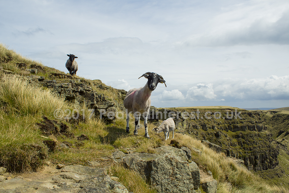
Interesting Fact: Hannah Mitchell, famous suffragette was born in Alport Farm at the foot of Alport Castles.
Walking to Alport Castles from Howden/Derwent Reservoirs
You can access Alport Castles by parking anywhere in the Northern part of the Upper Derwent Valley on the West side of one of the reservoirs. The closest you can park at the side of the road at the western most tip of the western arm of Howden reservoir (SK155928). If you do drive to this point please park considerately, i.e. off the road on the small amount of verge that is big enough for vehicles and do not onbstruct the gates to Fagney’s Plantation as the National Trust et al need access to the woodland and moors at all times.
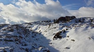
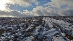
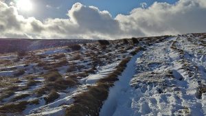
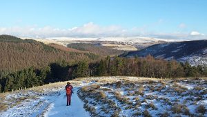
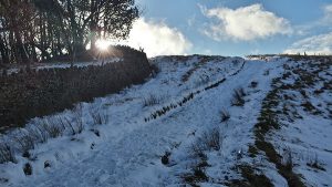
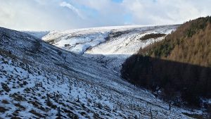
The path from this point heads west into the woods and after about 200m turns southwest up a very steep and interminable climb through the plantation. The path is surfaced and wide enough for the National Trust Landrovers but can be lose under foot so take car. After 400m you’ll reach Birchinlee Pasture where the trees give way to moorland. Follow the path past the grouse butts until in about 1.3km you’ll find yourself overlooking Alport Castles. Most of the 2.3km from the start of the path at the refernec described is a steep climb so allow plenty of time, especially on days like today where snow, ice and the lose path make going even harder.
You can return by the same route to your starting point.
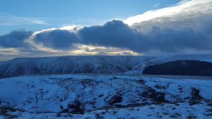
While it is an effort you can see from the images we took that it is worth it.

