Mam Tor means “mother hill” but then it didn’t take a linguistic genius to work that out did it, LOL. It’s also called the “Shivering Mountain” which I always think sounds like something out of Lord of The Rings that has a band of ice trolls living around it. Whatever you prefer to call the 517m high hill it’s difficult to miss, being visible from miles around. You can spot it from White Edge and Froggatt Edge, much of Stanage Edge, Bamford and Derwent Edges and Kinder Scout. Depending on the intervening terrain it can be spotted from lower levels too.
The top of Mam Tor contains a late Bronze Age hill fort with a double set of earth defences. They join with the huge landslip on the south-eastern side making it a formidable defensive position. The landslip started around 4000 years ago and has slowly been collapsing into the Hope Valley facing Castleton ever since. Because it’s an active geological feature and its age it’s difficult to tell if the builders of the fort deliberately used the sheer face of the landslip to augment the defences or if the two have merged as the landslip got bigger over time. In recent times the road past Treak Cliff Cavern to the Blue John Cavern has been destroyed by the movement of landslip to such an extent that attempts to repair the road have been abandoned leaving the centre section unusable for motor vehicles. This leaves each of the tourist attractions accessible by their own, opposite ends of the road.
Mam Tor (particularly on the landslip side) and the adjacent Rushup Edge are huge favourites with paragliding and hang gliding enthusiasts because of the almost constant supply of updrafts combined with spectacular views over the central Peak District. It’s only on the calmest of days that you find glum-faced fliers unable to take to the air.
Mam Tor is a very popular place of weekend walkers because it’s easy to access, familiar because of its proximity to Castleton and has parking right at the base of the hill and along the roads in the direction of Castleton. The best time to visit if you want solitude is early morning and during the week outside school holidays. Mam Tor and the Great Ridge that runs past Hollins Cross, Back Tor and to Lose Hill is very exposed so in poor weather expect to get wet, cold and blown about. Thrilling of course but do make sure you’re properly kitted up before you undertake that walk.
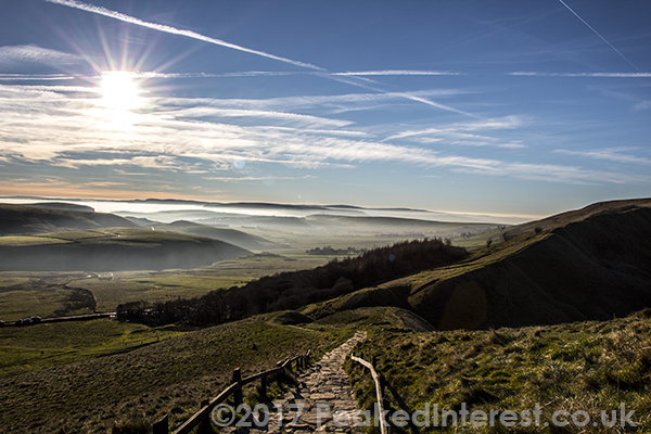
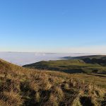
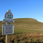
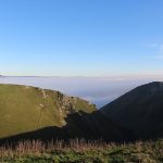
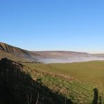
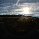
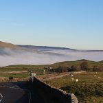
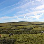
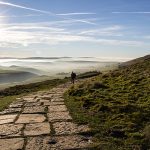
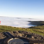
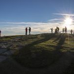
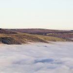
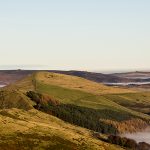
The pictures below were taken on and around Mam Tor on a cold day when a cloud inversion meant the Hope Valley and Edale were swathed in mist and the higher peaks of the Peak District stood out like islands in a fluffy white sea of mist. Spectacular, and much more pleasant than the horizontal rain and snow that is not uncommon on Mam Tor in Winter.
If you’d like to see some images of Mam Tor In Winter then click here.






Recent Comments