Some of the nicest places to walk in the Peak District are the reservoirs. Many are easily circumnavigated by well-maintained paths and for the most part are flat, or flat-ish because they follow the shoreline. They vary in size but some of the biggest are the most popular, partly because they tend to offer the most scope for a variety of activities besides walking and are often better served with facilities for eating, parking etc.
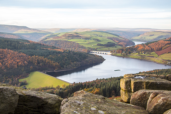
One of the busiest groups of reservoirs , because of its good facilities and excellent accessibility from Manchester and Sheffield are those in the Upper Derwent Valley. The creation of the three bodies of water, Ladybower, Derwent and Howden, is a fascinating insight into the growth of the Midlands during the 20th century and how the logistical and engineering challenges that face engineers 100 years ago were met. I’ll write something up about them at some point because they are really impressive structures.
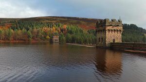
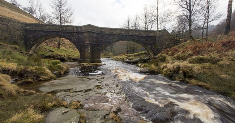
For today suffice to say we were going to walk a circular route from the west side of Derwent Dam, around the Derwent Reservoir and Howden Reservoir then back down the east side before crossing the face of the Derwent Dam back to our starting point. However because of the heavy rain we didn’t get to the lovely stone bridge at the top of Howden Reservoir where the Derwent flows into it. Due to the heavy rain a culvert under the road about a kilometre or so short of the bridge had blocked, flooding the road to over “boot depth” so we had to retrace our steps. A nice walk but not the one we actually wanted to complete.
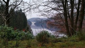
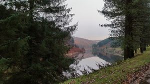
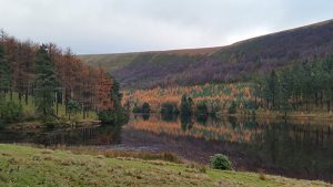
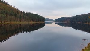
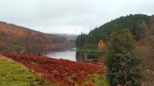
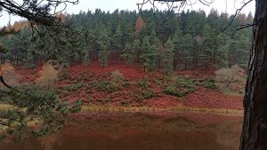
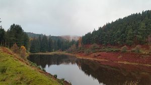
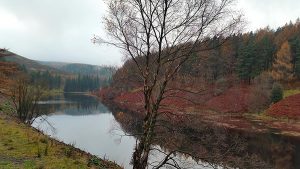
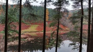
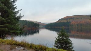
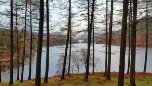
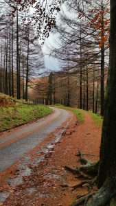
Anyway, here are some images from the walk.





1 thought on “Walking Around Derwent and Howden Reservoirs”