

This walk around Burbage Valley and Burbage edge takes in some of the famous Peak District landmarks and gives you a good workout with its ups & downs.
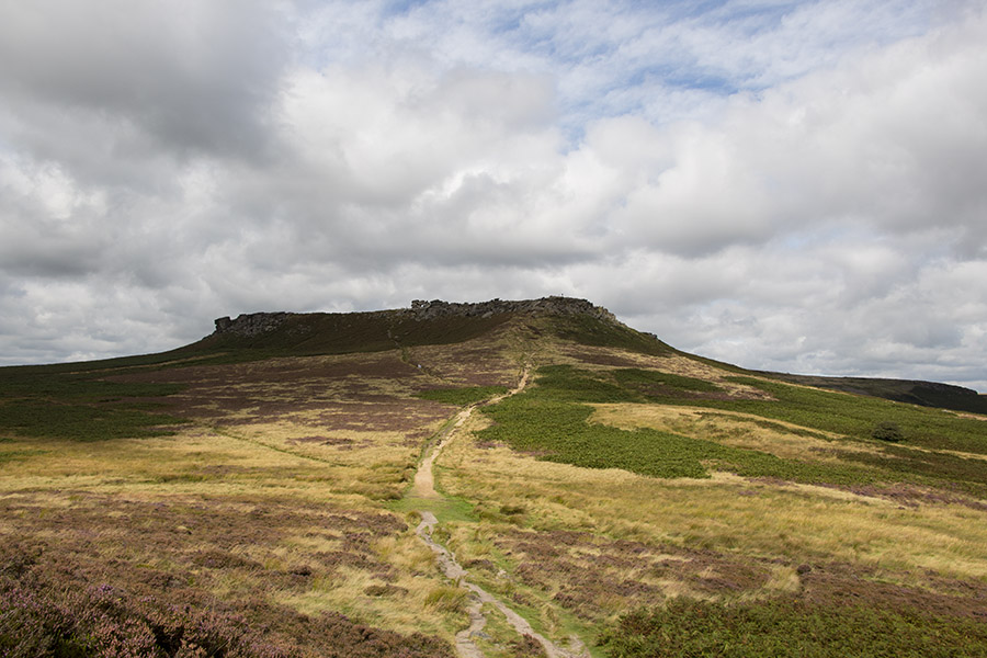
We parked the car up at the southern end of Stannage Edge just west of the Fiddler’s Elbow where Ringinglow Road becomes The Dale. Paths run from here (SK254826) to Stanage Edge and across a field towards Higgar Tor. You’ll cross the narrow unnamed road that leads down to Hathersage (SK256823) and find yourself on the path up to Higgar Tor. It used to be paved with steps most of the ay up but erosion by walkers and the weather means the steps are sometimes uncomfortably high to use and many walkers now use the ground at the side of the original path instead..
Once at the top of the gritstone outcrop you can see for miles (SK257819). The panoramic views over Burbage Edge, down in to Hope Valley and over towards the Longshaw Estate & Sheffield are wonderful. Looking West and North you’ll see across to the Great Ridge, Mam Tor and beyond to Kinder Scout.
After taking a breather on top of Higgar Tor and lots of photographs of the scenery illuminated by the ever changing light we made our way over to the path down. There are 3 main paths which take you down all joining the “official” footpath, we selected the middle one – all routes down the South side of Higgar Tor can be a scramble especially in wet weather, but not too challenging.
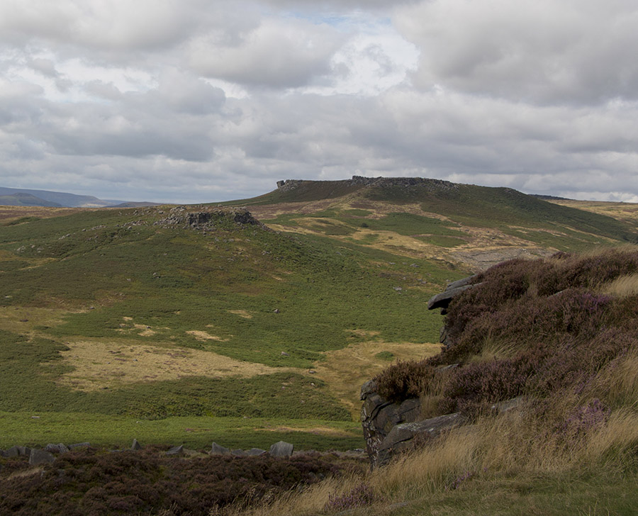
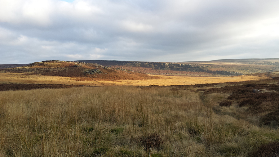
The start of the descent involves a few long stretches over gritstone boulders but then becomes stepped and easier to navigate. We followed the path across the valley basin whilst admiring the views over to Burbage Edge which has a history all of its own, having been quarried for gritstone millstones and later used for army target practice during the second world war.
Carl Wark has a very distinctive defensive wall which you’ll spot from Higgar Tor. As you climb the steepish path (SK258815) towards the wall it becomes quite foreboding particularly if you imagine defenders hurling things at you if you were an unwanted visitor. The steps up are easy to climb in the absence of a rain of spears and stones and once at the top again you are rewarded with stunning views.
On the edge facing back towards Over Owler Tor there is an information plaque telling you some of the history of the fortification which may have been used from the Neolithic to early Iron Age.
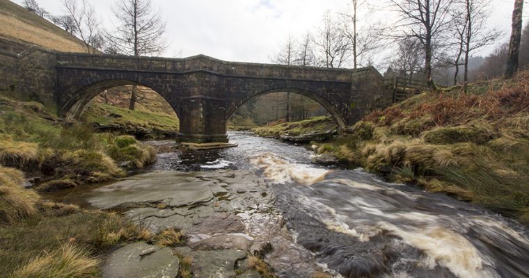
We sat on a rock for a few minutes drinking in the beauty of the landscape before descending down the path we had used to enter Carl Wark at its North West corner but turning East to take the path which leads to another famous landmark, the Packhorse Bridge.
The day was very clement, the sun was shining a perfect day for walking. However, whatever the weather I strongly advise you stick to the paths through the valley as it’s prone to flooding and straying off the path can result in you finding one of the many perpetually wet bogs and pools.
I know, I speak from experience. Last February I followed David over the valley and ended up thigh deep in cold water. And I can tell you that the 3km walk back to the car was very uncomfortable indeed. Lol
At the Packhorse Bridge (SK264814) we perched ourselves down on the embankment for our customary banana break. Just as we were enjoying the peace & tranquillity a large group of walkers was making our way. Be aware that it can get very busy at Burbage Brook as it’s a very popular place to walk, being both easily accessible from Sheffield and a really lovely place to walk.
After making our ascent from the valley bottom to the main path (Sheffield Country Walk) which runs along the edge of Burbage Edge we decided to take the more challenging route back. We headed South until a small path (around SK268808) that takes you up to Burbage Edge South past the stone trough apparently left unfinished by a stone mason at some point in the past.
This route undulates with some quite steep climbs as you go up and down the edges of gritstone.
If you don’t fancy the challenge then you can follow the footpath (Sheffield Country Walk) through the valley which is a constant, steady climb.
We encountered several female Wheatears (Oenanthe oenanthe) on the edge. We didn’t know what they were at the time having only seen the males before but it was pointed out by one of my friends later. A Kestrel was also hunting in the valley but we didn’t manage to take a picture of it.
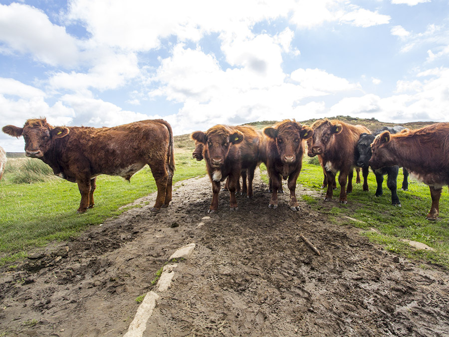
The views up on Burbage Edge are glorious and despite the arduous ups & downs the walk back was lovely. On exiting the edge (SK262830) we walked back up the road towards the car taking quick snaps of the grazing sheep en-route.
Hints and Tips
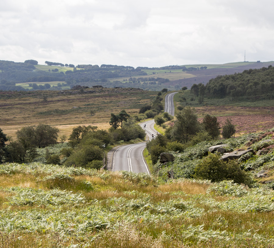
Take care on foot and when driving this section of road as sheep are grazing on the back of Stanage Edge all year round and they often wander into the road. Drivers please keep your speed down and walkers watch out for some drivers who don’t realise that there is often little or no verge for walkers to retreat to and often pass too close to pedestrians.
This walk is roughly 9.5k and as difficult as you want to make it.
Map references from OS Explorer map OL1
You can see what the Burbage Valley looks like in Winter here.

Recent Comments