
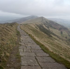
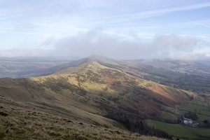
The Great Ridge runs from Mam Tor to Lose Hill and separates Castleton from Edale. It’s only about 3 kilometres long but its changes in height and exposed position make it a good medium difficulty walk, especially in challenging weather, and on the Great Ridge challenging weather happens quite a lot.
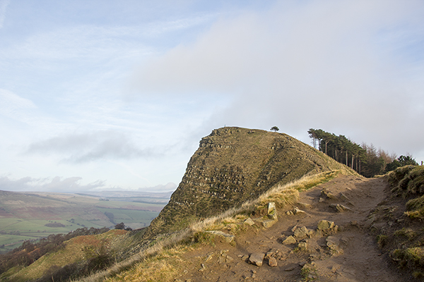
There are three main features – Mam Tor at one end and Lose Hill at the other. Closest to Lose Hill you’ll find Back Tor, a rocky outcrop with its sheer escarpment pointing into Edale. Between Back Tor and Mamtor is the lowest point on the ridge, Hollins Cross, famous as the route taken by deceased Edale residents until The Church of The Holy and Undivided Trinity was built in Edale in 1889. There did used to be a cross at Hollins cross but that disappeared before 1905.
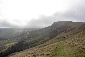
In separating Edale from Castleton and Hope the ridge has a huge impact on weather in the two valleys that can be observed when you’re on the ridge or from Derwent Edge and Stanage Edge. We’ve been bathed in bright sunlight on the latter and observed a cloud hanging over Edale all day. In forcing air upwards the ridge seems to perpetuate clouds so long as it’s supplied with moist air, often wreathing the ridge in cloud mist, rain and snow.


Recent Comments